
Alvin ZIP Coverage
USPS material associates two ZIP codes with Alvin, but it does not make either one a city-limit line. The primary research task is to verify the precise delivery address. USPS scheme documents support 77511 and 77512 as Alvin-associated ZIPs. The first is the primary Alvin ZIP. The second is an associated postal ZIP that needs address-level confirmation before it is assigned to a person, parcel, or delivery route.
| ZIP | Areas Covered | Post Office | Notes |
|---|---|---|---|
| 77511 | Alvin city and Alvin mailing area | USPS Alvin delivery system | Primary Alvin ZIP; delivery and city boundaries can differ |
| 77512 | Alvin-associated postal ZIP | USPS Alvin postal system | Verify an exact address; complete delivery-area description was not published in the inspected source |
Nearby ZIPs should not be folded into Alvin by guesswork. The research distinguishes Rosharon, Pearland, Angleton, and other regional postal associations from the Alvin entries. No official ZIP-by-ZIP population or voter count was located for Alvin, so a numeric ranking would overstate what the custodians publish.
USPS Checks for Alvin ZIPs
Use the USPS ZIP Code Lookup with the complete street address whenever a ZIP matters. This is the strongest route for the delivery ZIP tied to a particular address. It is more reliable than copying a ZIP from a tax notice, an old directory, or a postal-city label. Preserve the lookup date because postal service information can change.
The USPS exact-address lookup is the source for this Alvin postal directory.
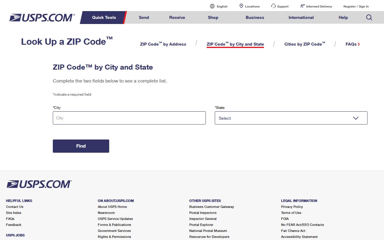
An exact result is a postal delivery result, not a legal description, voter list, or map of city limits. Record the input address exactly, including directional or unit details where USPS requires them, then compare it with the assessor's physical parcel address.
- ZIP versus ZIP+4
- A ZIP identifies a postal delivery area. ZIP+4 adds a more specific delivery segment to the base ZIP.
- PO-box ZIP
- A ZIP used for post-office box delivery. It should not be assumed to describe a street-delivery area.
- Unique ZIP
- A ZIP assigned to one organization or other special delivery arrangement. No Alvin-specific unique ZIP was established by the research.
- Carrier route
- A delivery grouping used by USPS. It is not a municipal boundary or a resident list.
Alvin ZIP Resident Search
A ZIP can narrow an individual inquiry, but it is not a free way to create a household roll. Work from a known name or address, keep the different address types separate, and make each system answer its own question. The county appraisal system supplies parcel context. My Voter Portal is a one-person registration tool. The city and county maps check jurisdiction and geography.
- Run the complete address through USPS and save the resulting ZIP with the date of the check.
- Use the Brazoria Central Appraisal District search for the parcel, then record its situs, mailing address, geographic ID, and legal description separately.
- For one possible voter, use name, Brazoria County, date of birth, and ZIP in My Voter Portal. Do not treat the result as a ZIP-wide list.
- Use city-limit and county mapping to determine jurisdiction before requesting an address-linked city or county record.
- Once the address is narrow enough, use the Alvin Street Directory for the by-street record trail.
That order prevents one identifier from doing too much work. A parcel may use a mailing ZIP that differs from the situs ZIP, and the owner field can identify someone other than the present occupant.
Alvin ZIP Filters by System
ZIP fields do not work the same way across the local sources. The visible BCAD interface provides owner, address, ID, and advanced filters, but no general ZIP field. It can search street number and street name, property and geographic IDs, subdivision, neighborhood, tax year, and other appraisal filters. My Voter Portal uses ZIP as a disambiguating field with a name, county, and date of birth. A full voter-file request is a separate statutory process with an affidavit and fee.
| System | Field or route | ZIP role | Limit |
|---|---|---|---|
| My Voter Portal | Name, county, DOB, ZIP | Helps distinguish one individual | Not a ZIP-wide household search; protected fields remain limited |
| BCAD property search | Owner, address, ID, geographic ID, subdivision, neighborhood | No general visible ZIP filter | Use the parcel result and a USPS check, not a presumed ZIP query |
| County tax search | Account, owner mailing address, property location | Address context rather than a published ZIP filter | Tax status does not prove current occupancy |
| USPS lookup | Complete delivery address | Confirms postal ZIP for that address | Does not establish city jurisdiction or ownership |
The Brazoria County Tax Assessor-Collector search illustrates the difference between an account, an owner mailing address, and a property location.
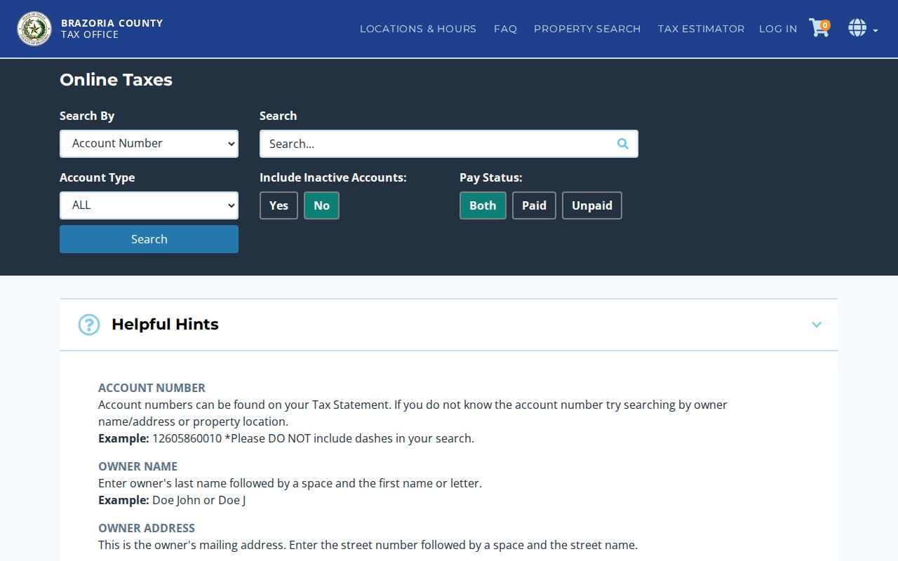
Use its result as a dated tax and property lead. It should be corroborated with the appraisal record, USPS delivery result, and the responsible record custodian when an address question has legal significance.
Alvin Postal City and Jurisdiction
An address can use Alvin as a postal city while lying outside incorporated Alvin, within the ETJ, or in an unincorporated pocket. The reverse problem also occurs when a city parcel's mailing convention does not line up neatly with the city name. Confirm postal delivery through USPS, municipal status through city-limit mapping, ownership through BCAD, and legal location through the deed or plat. Each answer belongs to a different record system.
Boundary check. ZIP boundaries are delivery geography, not city limits. Do not use an Alvin ZIP by itself to conclude that a parcel is inside the City of Alvin or that city records are the right custody route.
The City of Alvin GIS page describes city-focused parcels, schools, council districts, utilities, and an identify tool. County Engineering GIS adds city limits with ETJ, precincts, drainage districts, floodplain, roads, and related county layers.
Alvin ZIP Address Changes
Address history can break an otherwise sound ZIP search. Resolution 21-R-04 renamed portions of FM 1462 to Alvin Parkway. The research also notes 2024 annexation ordinances and a 2025 notice affecting a tract north of Highway 6, east of Harriman Road and north of Cardinal Drive. An older record can therefore use a road name or jurisdiction label that does not match a current postal or city map.
Begin with the historic street label and the present label, then compare the legal description, lot and block, or metes-and-bounds wording. The city did not publish a complete street-name or renumbering crosswalk in the inspected materials. For a targeted historical address question, Alvin Engineering or a city public-information request is a more defensible route than guessing from a ZIP.
Alvin ZIP GIS Context
Maps help show why a ZIP match and a government boundary can disagree. City GIS makes information visible as the map is zoomed and notes layers for parcels, schools, council districts, utilities, elevation, and GPS monuments. County maps are not updated daily and are not official exact depictions. They are useful for comparing an address against city limits and ETJ, but ownership questions still return to the appraisal district.
The Alvin GIS information page is the source for this ZIP directory's map context.
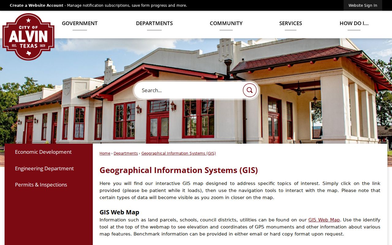
The map is a companion to the address and parcel records, not a substitute for them. Save the layer date and the feature identified, especially when an annexation, ETJ, or street change affects the address history.
Alvin ZIP Boundaries and Limits
The Alvin postal directory supports careful ZIP verification, not a complete resident list. Texas voter information has confidentiality limits, including protected addresses and Address Confidentiality Program handling. Motor-record data is restricted. City permit, school, floodplain, utility, and tax information may be address-linked, but none provides a complete roster of people at an address.
For a difficult match, preserve the USPS result, municipal status, county, BCAD situs, BCAD mailing ZIP, subdivision, and precinct as distinct fields. If a city-held address record is not online, use a date-bounded request to the original custodian. The result should state what the source proves and what it does not prove.