
Alvin Neighbors and Block Sources
The immediate block has a parcel trail, not a public household roll. Start with a mapped parcel, compare it to the appraisal record, and then use a deed or plat if the legal boundary matters. City GIS provides parcel, school, council-district, utility, elevation, and GPS-monument context as map scale permits. County GIS adds city limits, ETJ, precincts, drainage districts, floodplain, roads, and other countywide layers. Neither map is a survey or a daily-updated legal depiction.
| Source | What It Shows About a Block | Access |
|---|---|---|
| City of Alvin GIS | Parcels, schools, utilities, council districts, and feature context | Public web map; click-identify details were not captured |
| County GIS and ArcGIS | Parcel geography, ETJ, precinct, road, drainage, and flood layers | Interactive map and technical service; maps carry an accuracy caveat |
| Brazoria Central Appraisal District | Assessed owner, mailing and situs fields, legal description, and parcel identifiers | Public search; it is not a household-member list |
| County Clerk deeds and plats | Transfers, lot and block layout, easements, and legal tract language | Online or in person; clerk does not perform title research |
| Texas voter access | One registration lookup, or regulated file fields through a formal request | Protected fields and addresses remain restricted |
A parcel owner is not automatically the current occupant. The situs address is the physical parcel, while the mailing address is where appraisal correspondence goes. A different mailing location can belong to an owner, a trust, an agent, or another correspondence arrangement. It does not establish who is at the parcel today.
Map Alvin Adjacent Parcels
The documented adjacent-parcel method is a map browse and identify process. Open the city map, zoom until parcel information is visible, select the target parcel, and then select the surrounding polygons. Keep each parcel or map identifier with the observation date. The research did not document a city-map buffer, radius, export, or dedicated adjacent-parcel control, so do not assume one exists. The county ArcGIS service exposes technical search, layer, geometry, and return-format controls, but those controls do not replace confirmation in the appraisal and deed records.
Brazoria County’s ArcGIS parcel Find service is the documented county map surface for a parcel-oriented search.
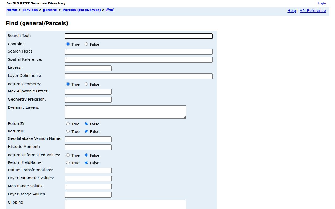
The service can help locate a map feature, while the public county guidance still directs ownership questions to the appraisal district. A visual edge can be stale, generalized, or not the legal boundary.
- Normalize the address, keeping a full address separately from the street number and street name used for parcel searching.
- Find the target polygon and record its geographic or parcel identifier and the observation date.
- Click each immediately surrounding polygon, then compare its identifier and legal description in the appraisal record.
- Check the deed or plat when the street layout, lot, block, easement, or parent tract is unclear.
- For a full named-road trail rather than one block, use the Alvin street directory record path.
Read Alvin Neighbor Parcels
Brazoria Central Appraisal District, formerly Brazoria County Appraisal District as of January 1, 2026, accepts owner, address, property ID, geographic ID, subdivision, neighborhood, and advanced searches. For an address search, the visible instructions say to omit the street prefix, suffix, and unit from the street-name field. A street-only search or a name variation can help when a precise entry does not return a result.
Open each parcel card separately. Record the owner name, situs address, mailing address, property and geographic IDs, subdivision, lot and block, property type, tax year, acreage, and the record date. A homestead flag can support an owner-occupancy inference, but it does not prove a current household. A parcel can be split, combined, or associated with more than one account, which is why the legal description belongs beside a street address.
Note: The appraisal roll is a property and assessment source, not an all-persons directory for the block.
Alvin Blocks, Plats, and ETJ
A plat is the recorded layout that turns a subdivision name, lot, and block into a tract on the ground. A deed may use that plat reference, or it may use metes and bounds, a written description based on courses and distances. The Brazoria County Clerk’s real-property route is the correct source for recorded instruments, but the office says employees record documents and do not build a title chain for the public. Search the current owner as grantee, compare the instrument date and legal description, then work backward only when the tract continues to match.
Keep deeds of trust, releases, liens, plats, easements, and right-of-way documents separate from ownership conveyances. A recorded grantee address can be a useful historic document field, yet it is not guaranteed to be a home address. The online database’s historical start date is not stated, and official copies or certification must come from the County Clerk.
Alvin is in northern Brazoria County, not the county seat. City limits, the extraterritorial jurisdiction, postal usage, municipal districts, and county precincts are different boundaries. Before describing a surrounding parcel as inside Alvin, check the dated city-limit or ETJ layer and the county layer. Annexation, road changes, and parcel splits can make an older label look current.
Voter Limits for Alvin Neighbors
Texas My Voter Portal supports a one-person registration check using a name with county, date of birth, and ZIP information, or a VUID route. It is not a public map that returns every voter on a block. Texas voter data can include name, date of birth, VUID, residence or mailing elements, precinct, status, and participation fields under state rules, but it never reveals a ballot selection. Social Security, driver-license, personal-ID, and protected-address information are confidential.
A full voter-file request is materially different. The researched form uses an affidavit, a fee or deposit, and specific filters and delivery arrangements. Texas law restricts commercial advertising or promoting use of voter information. A suspense status does not prove that someone moved, and protected participants in the Address Confidentiality Program may be handled outside the ordinary display.
| Official record category | Identifies a source, date, field limits, and the custodian responsible for correction. |
|---|---|
| Commercial listing category | May compile material from different times and does not replace the official parcel, deed, or voter record. |
| Safe comparison | Use the official record to verify a narrow, lawful question and retain the source date. |
Alvin Neighbor Civic Layers
Public association information can add community context without turning an organization into a household roster. City planning materials identify Mustang Crossing Homeowners Association as owning and maintaining a neighborhood park. The parks material says HOA-maintained parks were planned for Kendall Lakes and Forrest Heights. A subdivision or PUD document can identify an association role, but it does not publish a list of members or establish who currently lives in a particular home.
| Documented community layer | Publicly supported fact | Appropriate contact path |
|---|---|---|
| Mustang Crossing | Its homeowners association owns and maintains one neighborhood park. | Use city planning or subdivision documents; no public member roster was located. |
| Kendall Lakes | HOA-maintained park planning is described in parks material. | Check public planning documents; current association contact was not identified. |
| Forrest Heights | HOA-maintained park planning is described in parks material. | Check public planning documents; current association contact was not identified. |
| City boards and civic groups | Public appointees and public event activity can provide civic context. | Use official city listings or published organization contacts, not private rosters. |
Alvin’s Online Services page is a public route to city services, court, police-report, and GIS links.
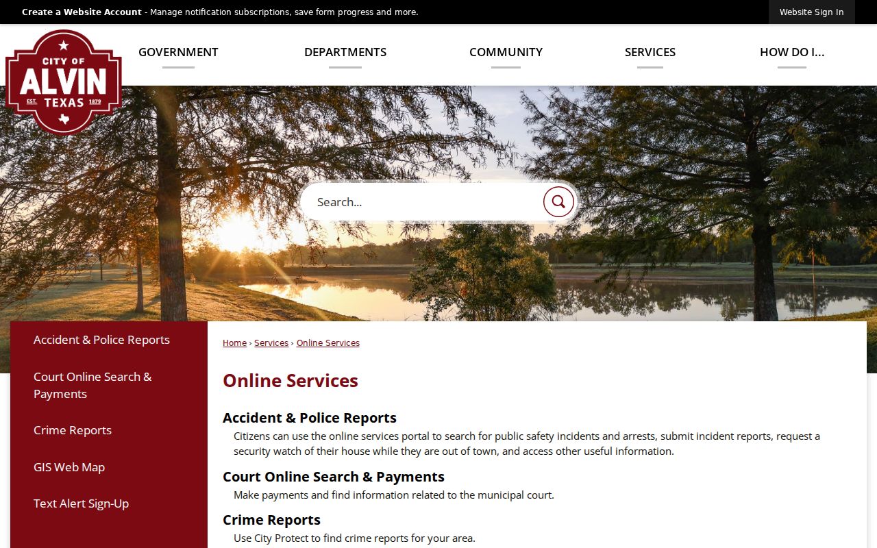
Use city services to locate the right agency for a narrow record request. The presence of public board names or association references does not establish a current residential address.
Historic Alvin Neighbor Context
Historic street-order books can show a listed occupant or telephone entry for a publication year, but they are not a modern map of a block. The Galveston and Texas History Center holds a noninclusive Alvin directory run for 1967 through 1991, and UT catalogs both local and regional directory titles. Pair a historical address with the correct year and, when needed, a plat or deed. A road label can predate later road changes or annexation activity.
City GIS, council districts, county precincts, and ETJ lines are useful overlays for a present map context. They should not be projected backward to identify past neighbors. For older periods, a dated directory entry, a County Clerk instrument, tax roll, cemetery source, or Alvin Sun notice may each identify a different relationship to the place.
The Brazoria County Historical Museum and the Brazoria County Library System can help with local history, maps, and targeted research. Their resources are historical research aids, not current-address databases.
Alvin Neighbor Privacy Limits
Public parcel, deed, and voter sources have firm boundaries. Parcel records identify assessed ownership, not every person present at an address. Utility customer data and motor-vehicle personal data are not ordinary public block records. Texas restricts motor data under the Driver’s Privacy Protection Act and state law. Protected voter addresses can be suppressed, and the Texas Address Confidentiality Program serves qualifying survivors through a substitute-address process.
Texas Public Information Act access does not require an office to disclose exempt material, interpret a record, or reconstruct protected fields. If a city record is not posted, a narrow request can name the address, record type, date range, and department. Ask the original custodian to correct an error using the record identifier rather than copying a disputed result into a new list.
Lawful use. Use Alvin neighbor records for a narrow, lawful personal or civic question. Texas law does not permit public information to be used to stalk, harass, threaten, or intimidate another person.