
Alvin Previous Residents by Era
The backward trail begins with an era check. A current appraisal record and an online deed index are good leads for the recent chain, but the research does not state an online opening year for the clerk's index. Older Brazoria material is split among the recording office, state microfilm, library holdings, and map or newspaper collections. The table identifies what each source can support before a name is carried from one period to another.
| Source | Years It Covers | Where Held | What It Shows |
|---|---|---|---|
| Current appraisal roll | Current roll; historical online cutoff not stated | Brazoria Central Appraisal District | Assessed owner, situs and mailing addresses, values, exemptions, and parcel IDs. |
| Modern deed index and images | Online start year not stated | Brazoria County Clerk | Grantor, grantee, recording details, legal description, and image lead. |
| Deed books and index | Deeds 1837–1886; index 1837–1894 | TSLAC microfilm and George Memorial | Nineteenth-century ownership chain. |
| Spanish deed records | 1831–1893 | Texas State Library and Archives Commission | Early Spanish material and English translations. |
| Alvin directories | 1962–1963; 1967–1991, noninclusive | TSLAC and Galveston & Texas History Center | Listed address and household snapshots. |
| Federal census | Released through 1950 | Library databases, NARA, and FamilySearch | Household composition at a decennial date. |
| Sanborn maps | 1925 and 1942 | UNT, Library of Congress, and cited map guides | Building footprint, use, street, and fire-protection context. |
| City permits | Historical cutoff not stated | Alvin MyGov, permit records, or public-information route | Construction, address-assignment, and inspection chronology. |
Start with the current parcel for a recent address question. For a nineteenth-century trail, lead with deed books or Spanish deeds rather than assuming an online search covers the period. Directories and census records answer a different question from a deed: they provide a dated listing or household snapshot, not title.
Alvin Past Address Records
Use the Brazoria Central Appraisal District search to fix the present-day parcel before looking for previous residents. Its address route uses a street number and a street name without prefix, suffix, or unit text. Record the situs address, owner name, property ID, geographic ID, subdivision, lot or block, and legal description. The situs is the parcel's physical location. A mailing address is where tax correspondence goes, so it is not a substitute for an occupancy finding.
Property boundaries can change. A tract may divide into several appraisal accounts, while an older instrument describes the parent acreage. A corner parcel can be known by different roads. When the name or address shifts, preserve the legal description, parent and child identifiers if displayed, effective date, and plat reference. The City of Alvin GIS map and county GIS map help place the parcel, but ownership questions return to BCAD and map boundaries are not official survey proof.
Alvin Deed Records Backward
Ownership is a starting layer for finding previous residents, not a household list. Once BCAD supplies the current owner and legal description, sign into the Brazoria County Clerk search route and look for the current owner's purchase instrument as grantee. Capture the instrument number, document type, execution date when shown, recording date, grantor, grantee, and legal description. The clerk records documents but does not perform the title search for the requester.
- Save the current parcel's legal description and geographic or property ID from BCAD.
- Find the current owner's acquisition as a grantee in the County Clerk index and identify the seller.
- Search that seller as a grantee to locate the seller's earlier acquisition.
- Repeat the grantor-to-next-grantee sequence, checking lot, block, subdivision, acreage, and plat references each time.
- Move to public computers, original books, or microfilm when the documented online trail no longer reaches the needed period.
- Grantor
- The party transferring an interest in a recorded instrument.
- Grantee
- The party receiving that interest. In a backward chain, a prior grantor often becomes the next grantee to search.
- Chain of title
- The sequence of recorded ownership transfers for the same tract, checked through legal-description continuity.
- Legal description
- The lot, block, subdivision, or metes-and-bounds language that identifies land more reliably than an older street address.
Separate deeds from deeds of trust, releases, liens, easements, plats, and rights-of-way. Those documents can explain a parcel's history, but they are not all conveyances. A grantee address is required on many conveyances executed after December 31, 1981, but it remains a historical document field, not proof of a present address.
Alvin Address Records Archive
Alvin's previous-residents trail can extend beyond the modern recording screen because Brazoria County's record geography is older than the city. The Texas State Library and Archives Commission local-records archive is the state-level fallback for county material that is not described as online. Its Brazoria inventory lists Spanish deeds from 1831 to 1893, deed records from 1837 to 1886, and an index to deeds from 1837 to 1894, alongside marriage, probate, court, occupation-tax, and tax-roll material.
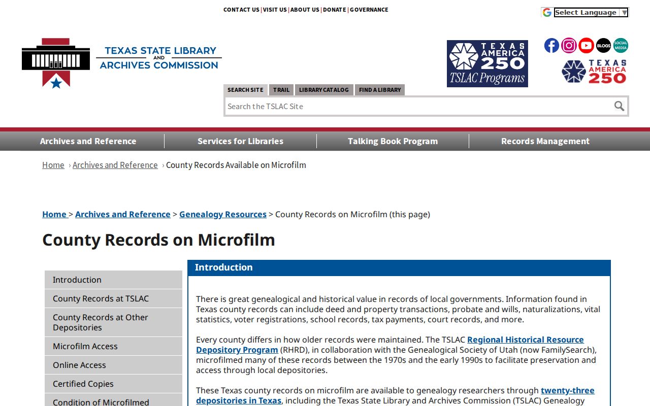
The archive route matters when a chain crosses the online index's unstated boundary. It also prevents a false conclusion from a web non-match. A state reel or original county record may preserve the earlier transfer even though a modern portal does not list it.
The TSLAC Brazoria County holdings page gives the county-specific microfilm lead. Microfilm can be difficult to read where iron ink or blue paper was used, and a library or archive copy cannot certify the underlying county instrument. Request a certified copy from the County Clerk when certification matters.
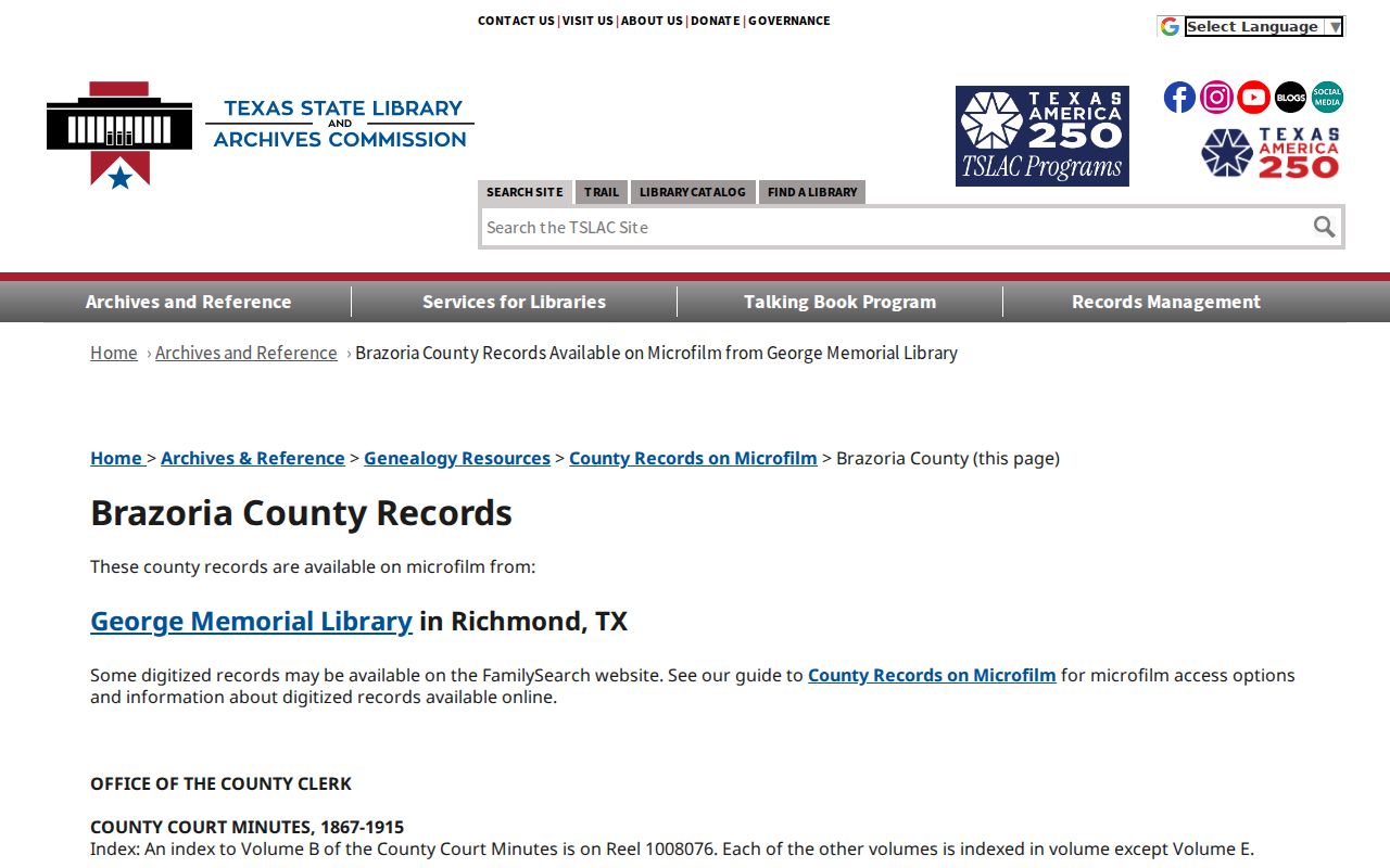
County records may be in Angleton, a state repository, or a regional library because the county's record tradition predates Alvin's incorporation. Log the repository as carefully as the record date.
Alvin Previous Residents in Directories
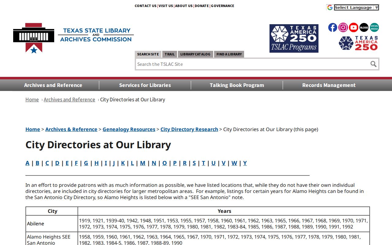
For who lived here before, use directories as dated occupancy snapshots after the parcel and address have been reconciled. TSLAC lists Alvin directories for 1962 and 1963. The Galveston & Texas History Center holds Alvin City Directories from 1967 through 1991, not inclusive. UT Austin's Center for American History catalog records an R. L. Polk Alvin City Directory, a Southwestern Bell Alvin Telephone Directory, and regional white pages with Alvin and Brazoria County coverage. The exact volume, publisher, page, and publication year must travel with each citation.
TSLAC's city-directory holdings information is a catalogue lead, not a digitized image of an Alvin entry. The research did not capture a page image or the abbreviation key for a local volume, so read each volume's own key rather than importing meanings from another directory. The collections themselves are detailed on the Alvin city directory page; the address trail uses them only to test a particular year.
Directory language can reflect Alvin's farm, produce, rice, railroad, and oil history. Those terms are useful when searching notices or business advertisements, but an occupation line or telephone listing does not establish a later address.
Alvin Census Address Records
Pair a directory year with the nearest released census rather than treating either source as a continuous record. The federal release rule leaves 1950 as the latest available census in the research. A directory may appear more often, yet omit an unlisted person or capture a move at a different moment. Census schedules provide a decennial household view. A simple sequence is address directory → census year → parcel or deed → obituary or probate, with the source date beside every entry.
The Brazoria County Library System Genealogy & History route offers library-use Ancestry Plus, Fold3 Library Edition, FamilySearch, HeritageQuest, Explore Texas material, and historical maps. HeritageQuest includes federal census material from 1790 to 1940 and family or local histories. Library access can locate a household or name variant, but it cannot certify a county deed or turn an old record into a current-location result.
Use initials, former names, spouse names, Hispanic surname order, and street-prefix or suffix variants where supported by the source. A common name needs another independent identifier, such as a legal description, document number, or matched year, before it is assigned to the address trail.
Alvin Sanborn Address Dates
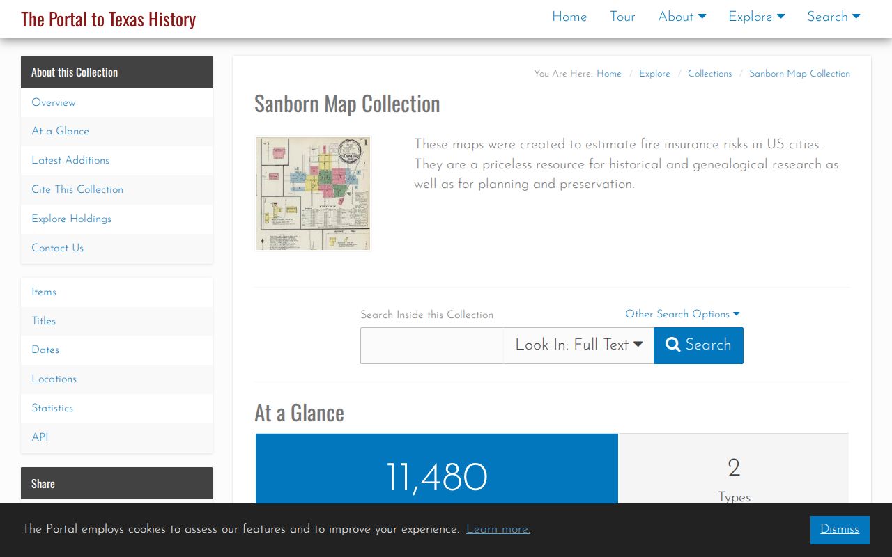
Sanborn fire-insurance maps date the place rather than name every person. The research identifies Alvin's earliest map at 1925 and latest at 1942. At their large scale, these maps can show a building outline, construction material, use, street context, and fire-protection details. Pair a sheet with the deed legal description and a directory address. A footprint can establish that a structure appears in an era, but it cannot establish every past resident.
The UNT Sanborn collection is one viewing route; the Library of Congress collection is another, with a map icon indicating when an item has not been digitized. A historical road name may also need comparison with the current address because portions of FM 1462 were renamed Alvin Parkway under Resolution 21-R-04.
Where a map and directory disagree, retain both dates and return to the parcel's legal description. Annexation, ETJ boundaries, and road-name changes can make an old street string look like a different location.
Alvin Permit Address Records
City permits can fill gaps between a deed and a directory entry by dating construction, remodeling, street opening, address assignment, or inspection activity. Alvin's permit route describes applications, plan-review comments, printing permits, scheduling inspections, and viewing results. The Application for Address links an address to the owner or contractor, lot, block, addition, legal description, proposed address, and structure information. The public research did not establish a browsable address-search field or a historical cutoff for MyGov.
For an older file not posted online, use the Alvin public-information request channel. A narrow request should identify the address, date range, record type, and city department. The City Secretary's page gives an online portal and an email fallback, while noting that Municipal Court and Police records are held by other custodians. An itemized estimate is issued when charges exceed $40.
Alvin Previous Residents Trail Endpoints
When an address trail reaches a death, move carefully to obituary, cemetery, and probate evidence. UNT's Alvin Sun collection is a digitized route for notices, obituaries, civic references, and business advertisements. Its title runs from 1890 to the present, but issue holdings are uneven. The Brazoria County Historical Museum research center and cemetery database can add local-history support; the cemetery database reports more than 23,000 interments across 140 cemeteries.
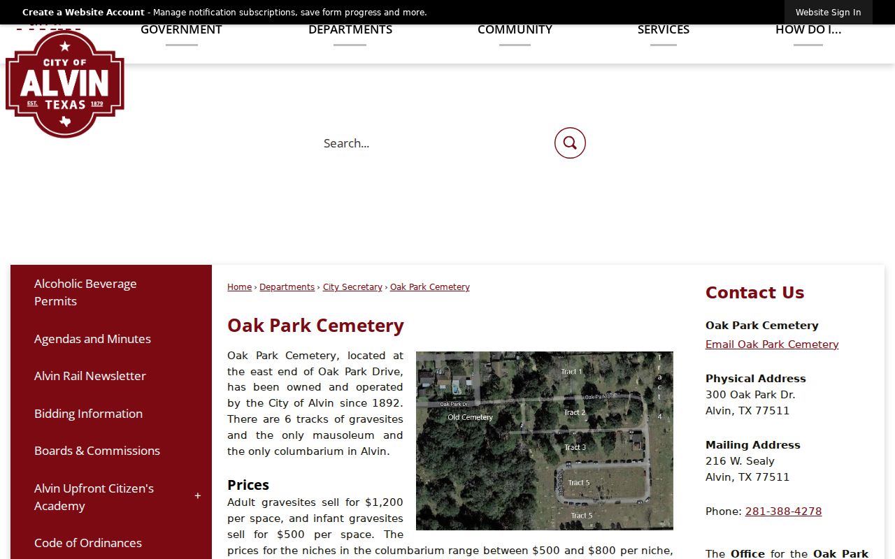
Oak Park Cemetery has been city-owned and operated since 1892 and links a burial-record PDF. A burial result can provide a death or family-history lead, but a County Clerk or Texas DSHS vital record remains the authoritative route when an official certificate is needed.
Probate can identify an heir, fiduciary, or claimant in an unsealed file. It does not establish a current location. Keep it as an endpoint in a dated history and verify legally significant relationships with the original clerk or court record.
Limits on Alvin Previous Residents
Previous-residents research is strongest as a documented house history. An appraisal record can show an assessed owner. A deed shows parties to a transfer. A directory or census adds a historical listing, and a map documents the place at a particular date. None completes an unbroken account of all people who were present, and none should be read as a present-day location claim. Protected voter addresses, motor-vehicle information, and nonpublic utility records are outside this ordinary public-record trail.