
Follow an Alvin Street by Address
For an Alvin street directory result, begin with the full address and then normalize it for the appraisal search. The Brazoria Central Appraisal District search asks for the street number and street name without a prefix, suffix, or unit. Keep the full situs address in a research log, but try the stripped version if the first search fails. Open the matching parcel card and record the owner name, legal description, subdivision, and property or geographic ID. Those identifiers are more durable than a street label.
Next, use the owner as a grantee in the Brazoria County Clerk real-property index. The purchase instrument identifies a grantor, document type, recording date, and legal-description lead. Use the Texas Secretary of State My Voter Portal only to check an individual registration with the portal's name, county, birth-date, ZIP, or VUID route. It is not a free by-street roster. Finally, compare a historical address listing through a criss-cross or telephone directory when the question is about an earlier period.
- Enter the address in BCAD using its number and simplified street-name fields, then save the parcel and legal-description details.
- Use the city or county map to confirm that the selected parcel is on the intended Alvin street and not a nearby tract with a similar name.
- Search the current owner as grantee in the County Clerk index, then read the deed's grantor, instrument number, recording date, and legal description.
- Check a specific person through My Voter Portal only when independent name and date details support the match.
- For a dated occupant question, use the address-first directory route and keep its publication year separate from current parcel evidence.
That address → owner → deed → voter → criss-cross chain is useful because every stop answers a narrower question. A parcel card identifies assessed ownership, a deed records a transfer, a voter lookup concerns one registration, and a directory may reflect a listed address at publication. None proves every person who is present on the street now.
Alvin Street Search BCAD Fields
BCAD is the main current parcel starting point for an Alvin street directory search. Its current name is Brazoria Central Appraisal District, effective January 1, 2026; older citations may still say Brazoria County Appraisal District. Start broadly when a road search is difficult. The portal suggests a simple street name for an address problem and uses the owner format “Last Name First Name.” A returned card can distinguish a physical situs from an owner mailing address, which should never be treated as proof that the owner occupies the parcel.
| BCAD field | Input type | Required | Alvin street-search use |
|---|---|---|---|
| Owner Name | Text | No | Use last name first when a parcel owner is known. |
| Street Number | Text | No | Enter the numeric portion of the address. |
| Street Name | Text | No | Omit prefix, suffix, and unit information. |
| Property ID / Geographic ID | Text | No | Use the parcel identifiers carried into map and deed work. |
| Subdivision / Neighborhood / Condo | Autocomplete | No | Useful where lot and block vocabulary narrows a street result. |
| Tax Year / Property Type | Select | No | Available filters; the inspected capture did not expose their options. |
| Protest and hearing fields | Date or text | No | Advanced fields, not evidence of an occupant. |
A BCAD card may show values, exemption flags, a sketch or photo, neighborhood data, and protest information in addition to the identifiers needed for a street trail. Capture only what serves the question. A homestead indication can support an owner-occupancy inference, but it does not establish who lives there today.
Alvin GIS Street Parcels
The City of Alvin GIS Web Map is the spatial companion to a parcel search. Its public landing page identifies parcels, schools, council districts, utilities, and an identify tool that can expose feature data, elevation, and GPS monument coordinates. Zoom until parcel material becomes visible, identify the target feature, and compare its map context with the BCAD geographic ID. The research capture did not establish the viewer's exact layer labels or an adjacent-parcel command, so do not assume an unlisted map control exists.
For broader context, Brazoria County Engineering GIS supplies city-limit and ETJ, precinct, drainage-district, floodplain, road, and service-center layers. The county directs ownership questions back to BCAD and warns that its maps are not updated daily or exact official depictions. Use the layer as location context, then verify a boundary, right-of-way, or ownership conclusion with the appropriate custodian.
Note: Compare the map date, parcel identifier, and legal description before treating two similarly placed street results as the same tract.
Alvin Street Records by Address
Address-keyed sources form a chain, but they do not use the same name for the same thing. The street field starts a search; the property or geographic ID ties the appraisal result to the map; the legal description and plat tie it to recorded instruments. A time label belongs beside every people-related finding. This coverage table separates the record sets rather than blending an assessed owner, a listed address, and a registered voter into one claim.
| Address record | Custodian | What it can show | Access channel |
|---|---|---|---|
| Appraisal parcel card | BCAD | Assessed owner, situs, mailing address, legal description, IDs, and exemption context. | Online search; BCAD Angleton office; phone at 979-849-7792. |
| Parcel and boundary map | Alvin GIS and county GIS | Mapped parcel context, districts, utilities, roads, and county overlays. | City/county web maps; county GIS email request. |
| Recorded instrument | Brazoria County Clerk | Grantor, grantee, recording information, legal-description, plat, lien, or release trail. | Online login or public computers at 237 E Locust, Suite 102, Angleton. |
| Registration record | Texas SOS and county elections | A specific registration match, subject to protected-address rules. | My Voter Portal, registrar help, or formal voter-data request. |
| Permit or inspection | City of Alvin | Project address, improvement timing, and application or inspection context. | MyGov route, permit counter, phone, or targeted public-information request. |
| Historic address listing | Library and archives | Listed household or telephone/address snapshot for a publication year. | Reading rooms, library databases, archive catalogues, and digitized newspapers. |
Current by-street work should stop at the strongest documented layer. The appraisal card and recorded deed can establish property relationships. A map can place the parcel. A registration result or historic directory can add a date-bound name connection. That is more accurate than claiming that a whole street has been fully enumerated.
Alvin Street Deed Continuity
Use the County Clerk index after BCAD produces a legal description, not before. Search the current owner as grantee to find the purchase deed. Record the grantor, instrument number, recording date, and subdivision, lot, block, or metes-and-bounds wording. Then search that prior grantor as a grantee to locate an earlier acquisition. A deed of trust, release, lien, easement, or right-of-way document belongs in the parcel file, but it is not automatically a change of ownership.
- Parcel
- A taxable piece of real property represented by an appraisal identifier and mapped boundary.
- Situs address
- The physical location used for the taxed parcel, distinct from the address used for tax correspondence.
- Plat
- A recorded subdivision map that connects lot and block language to the tract layout.
- Criss-cross directory
- An address-first directory arrangement that can lead from a house number and street to a historical listing.
The clerk records documents but does not perform title examinations for searchers. If a legal description changes, use a plat and adjoining tract details before carrying a name backward. The online database has no stated starting year. Earlier Brazoria material may require the clerk's public computers, original books, or archive microfilm rather than another web query.
Alvin Street Voter Boundaries
My Voter Portal is a person-specific check, not an Alvin street directory map. The available paths use a VUID, or a name combined with county, date of birth, and ZIP. Its result concerns registration information and does not reveal ballot choices. If a portal search cannot identify a record, the Brazoria County elections office provides help through its voter-registration route.
A formal voter-file request is different. The state request process calls for an affidavit, may involve a deposit and fee, and has statutory restrictions. Texas protects Social Security and driver-license information as well as protected addresses. A suppressed address may appear as asterisks, and Address Confidentiality Program participants are handled outside the ordinary presentation. Do not turn a street question into an open-ended list of registrants.
Note: A registration status, a precinct, and an address are each date-bound fields, not proof of a person's current presence.
Alvin Street Permit Clues
Alvin Permits & Inspections directs contractors and property owners to the MyGov route for applications, plan-review comments, permit printing, inspection scheduling, and results. The public page lists address, building, electrical, irrigation, mechanical, plumbing, street-opening, and related application types. It does not document public browsing fields by address, so a street result should not promise a searchable permit history that the public screen has not established.
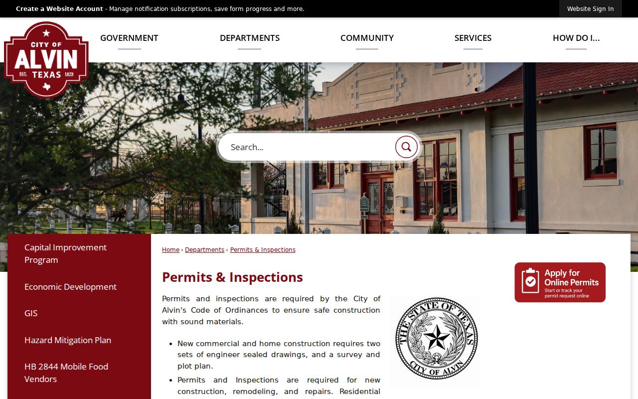
The permit page supports a different kind of address evidence: it can date construction, alteration, an address assignment, or an inspection event. The city Application for Address asks for lot, block, addition, legal description, proposed address, structure status, and applicant information, while staff complete address and flood-zone fields. Use a narrow City public-information request when an older city-held record is not posted.
Alvin Road Name Records
Road changes can make a sound street search look empty. Resolution 21-R-04 renamed portions of FM 1462 to Alvin Parkway. The city also has documented annexation, ETJ, planned-development, and right-of-way actions. An old address can therefore carry a road name, postal place, or jurisdiction label that differs from the current map. Test the historical and current road names together with the subdivision and lot or block, then confirm the parcel in GIS.
Alvin lies in northern Brazoria County, while Angleton is the county seat. City limits, ETJ lines, ZIP boundaries, and appraisal parcels are separate systems. County Engineering GIS is the map fallback for unincorporated territory; the City Engineering address process concerns city development. A municipal label on a document should not be used as a substitute for a verified parcel jurisdiction.
Alvin Street Directories for Historic Addresses
A historical street directory can add a dated occupant clue after the parcel has been fixed. The Galveston & Texas History Center holds Alvin City Directories for 1967 through 1991, with noninclusive years. TSLAC lists Alvin directories for 1962 and 1963. UT Austin's Center for American History catalog distinguishes an R. L. Polk Alvin City Directory, a Southwestern Bell Alvin Telephone Directory, and regional white pages that include Alvin and Brazoria County. Record the volume title, year, and page because the exact run varies by repository.
The UT Austin Alvin directory catalog is a useful lead for this address-first research, while the shelf-level collections belong to the Alvin city directory page. Read the abbreviation key in the same volume. A printed listing can be missing, can reflect a move near publication, or can belong to a telephone exchange wider than the city, so it should remain a historical snapshot rather than a current conclusion.
Alvin Parcel Record Review
The BCAD owner, address, and advanced-search screen is where an Alvin street directory query becomes a parcel review. Its visible tabs include owner, address, ID, and advanced search, with fields that support a number-and-street approach as well as identifiers and subdivision vocabulary.
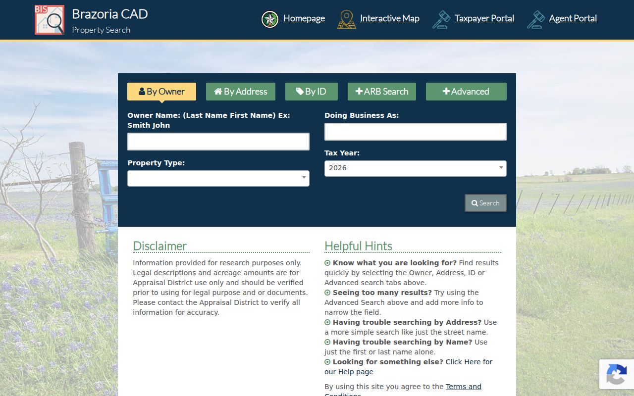
Use the broad search only to collect candidate parcels. The final selection should rest on the situs, legal description, and parcel identifier, checked against the map. That review also prevents an owner mailing address or a similar road label from being presented as a current household finding.
Alvin Street Directory Access Routes
Online portals are only one channel. BCAD offers web search, an Angleton office, and telephone assistance at 979-849-7792. The County Clerk offers online login after email verification and public computers at 237 E Locust, Suite 102, Angleton; the clerk's online database is not the official repository, and redactions may appear. Certified recorded-document copies come from the County Clerk, not a library scan.
For maps, request county GIS information by email at engineer-GIS@brazoriacountytx.gov with contact details, requested format, and geographic extent. For permit or code material, use the city public-information route and name the address, record type, date range, and department. The City Secretary describes an online request portal and an email fallback, and says an itemized estimate is issued when charges exceed $40. Library reading rooms, TSLAC microfilm, FamilySearch, and UNT map or newspaper collections provide the older-record fallback when the online index ends.
Limits of an Alvin Street Directory
An Alvin street directory can trace public parcel and record links, but it cannot prove every occupant at every address. Appraisal cards identify assessed owners, deeds identify parties to a recorded transaction, and historic directories contain only listed entries. Utility customer information is not a public street record. Motor-vehicle address data is restricted by the federal Driver's Privacy Protection Act and Texas Transportation Code chapter 730. Protected voter addresses and Address Confidentiality Program records are also outside ordinary results.